Qualitative Habitat Evaluation Index
Qualitative Habitat Evaluation Index
The qualitative habitat evaluation index (QHEI) gives scientists a quantitative assessment of physical characteristics of a sampled stream similar to IBI and ICI biological data. QHEI represents a measure of instream geography. By combining evaluations of QHEI and IBI, for example, researchers can gain a well-rounded perspective of both the physical and biological conditions of a particular stream site. This comprehensive assessment is critical for evaluating disturbance and land use practices. There are six variables which comprise this index (represented in the following table).
Qualitative Habitat Evaluation Components
| Metric | Metric Component | Best Possible Score |
|
|---|---|---|---|
| Substrate |
|
20 | 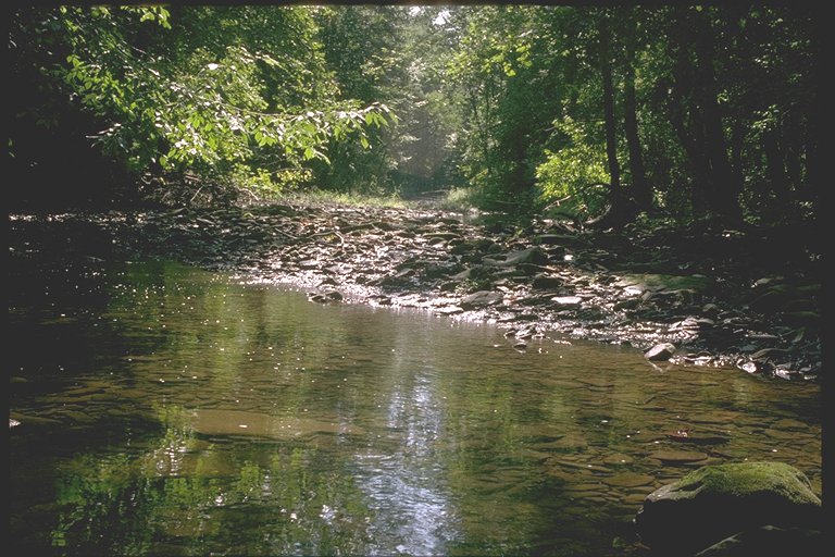 |
| Instream Cover |
|
20 | 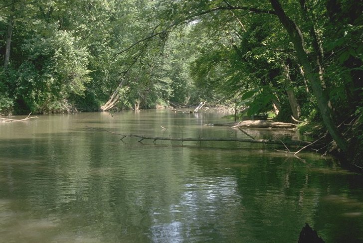 |
| Channel Morphology |
|
20 | 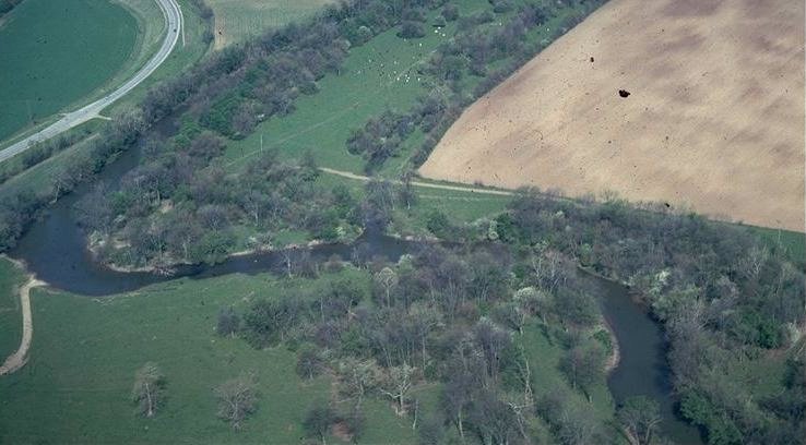 |
| Riparian Zone |
|
10 | 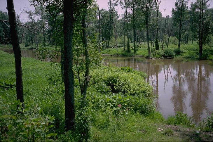 |
| Pool Quality |
|
12 | 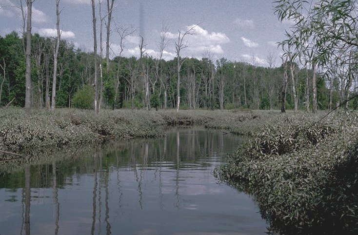 |
| Riffle Quality |
|
8 | 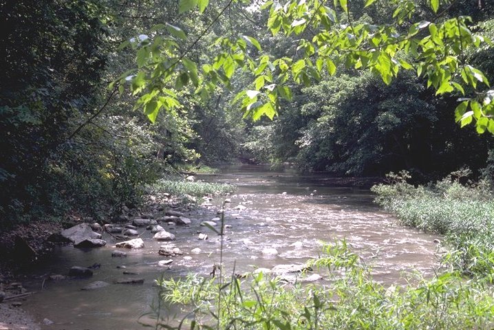 |
| Map Gradient |
10 | 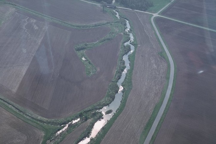 |
|
| TOTAL | 100 |
Go Back to Watershed Quality Page
Metrics for QHEI:
Substrate: This metric includes two components, substrate type and substrate quality.
- Type: The two most common types are to be scored, unless one substrate predominates (greater than 75%-80% of bottom area). Substrate types are defined as follows:
- Bedrock: solid rock forming a continuous surface
- Boulder: rounded stones over 256mm in diameter or large "slabs" more than 256mm in length
- Cobble: stones from 64-256mm in diameter
- Gravel: mixture of rounded coarse material from 2-64mm in diameter
- Sand: materials 0.06-2.0mm in diameter; gritty texture
- Silt: 0.004-0.06mm in diameter; fine material generally feels "greasy" when rubbed between fingers
- Hardpan: particles less than 0.004mm in diameter; usually clay that forms a dense, gummy surface that is difficult to penetrate
- Marl: calcium carbonate; usually greyish-white; often contains mollusk shell fragments
- Detritus: dead, unconsolidated organic material covering the bottom; includes sticks, wood, and other partially decayed plant material
- Muck: black, fine, flocculent, completely decomposed organic matter
- Artificial: substrates such as rock baskets, gabions, bricks, trash, concrete, etc., placed in stream for reasons other than habitat mitigation
- Sludge: a thick layer of organic matter that is of human origin; if originates from point source, not included
- Quality: When scoring quality, origin refers to the parent material that the stream substrate is derived from. Embeddedness is the degree to which cobble, gravel, and boulder substrates are surrounded, impacted, or covered by fine materials. Substrates should be considered embedded if more than 50% of the surface of substrates are embedded (cannot be easily dislodged). This includes substrates that are concreted or "armour-plated". Scoring Extensiveness of the sampling area is as follows: Extensive is 75% of area, Moderate is 50%-75% of area, Sparse is 25%-50% of area, and Low is less than 25% of area.
Silt cover is the extent to which the substrate is covered by silt. Silt heavy means that nearly all of the stream bottom is layered with a deep covering of silt. Moderate includes extensive coverings of silts, but with some areas of cleaner substrates. Normal silt cover includes areas where silt is deposited in small amounts along the stream margin or is present as a "dusting" that appears to have little functional significance. Silt free substrates are those that are exceptionally clean of silt.
Instream Cover: The first half of instream cover is the type that is present. Any cover that is in more than five percent of the sampling area should be noted, but should not be counted if in areas of the stream that are too shallow (usually <20 cm) to make it useful. Instream cover amount can be categorized by: extensive, moderate, sparse, or nearly absent. Extensive cover is that which is present in greater than 75 percent of the sampling area. Moderate is about 25%-75%, Sparse is less than 25%, and Nearly Absent is when no large patch of any type exists anywhere in the sampling area.
Channel Morphology: Relates to quality of the stream with regard to creation and stability of macrohabitat. This includes: channel sinuosity, channel development, channelization, and channel stability.
- Sinuosity: The degree to which a stream bends. No sinuosity means the channel is straight. Low sinuosity would have one or two poorly defined bends. Moderate has more than two outside bends, with at least one being well defined. High sinuosity would have more than two or three well defined outside bends with deep areas outside and shallow areas inside.
- Development: Refers to development of riffle pool complexes. Poor means no riffles or shallow ones with sand and fine gravel. Fair are poorly developed or absent riffles. Good implies better defined riffles with larger substrates. Excellent means the riffles are good and pools have a maximum depth of more than one meter and deep riffles and runs are present.
- Channelization: Refers to human-made channel modifications. Recovered means that the streams were channelized in the past, but have since regained most of their natural characteristics. Recovering means the stream was channelized, but is in the process of regaining its former , natural characteristics. Recent or No Recovery implies that the stream was recently channelized or show no significant recovery.
- Stability: How stable the channel remains. Channels with stable banks and substrates with little or no erosion are categorized as High stability. Artificially stable (concrete) channels also receive the High mark. Moderate scores are given to channels with stable riffle/pool and channel characteristics, but also exhibit symptoms of instability. Low scores go to channels with fine substrates in riffles, unstable (eroding) banks, and high bedload.
Riparian Zone: This metric measures the quality of the riparian buffer zone of floodplain vegetation, including riparian zone width, floodplain quality, and extent of bank erosion. To score each component, one looks downstream and averages both the left and right banks.
- Width of Floodplain: This is the width of the riparian vegetation. Estimates should only be taken for forest, shrub, swamp, and old field vegetation (fairly mature successional field that has stable, woody plant growth).
- Floodplain Quality: The two most predominant floodplain quality types are to be checked. Floodplain refers to areas immediately outside of the riparian zone or greater than 100 feet from the stream, whichever is wider on each side of the stream.
- Bank Erosion: This can have one of five different scorings:
- None-streambanks are stable and not being changed by water flows or animals
- Little-streambanks are stable, but slightly changed along the transect line; less than 25% of streambank is receiving any stress, is false, broken down, or eroding
- Moderate-streambanks are receiving moderate alteration along transect line; at least 50% of streambank is in natural stable condition; 50% is false, broken down, or eroding
- Heavy-streambanks have received major alterations along transect lines; less than 50% of streambank is in stable condition; over 50% of streambank is false, broken down, or eroding
- Severe-streambanks along transect lines are severely altered; less than 25% of bank is stable condition; over 75% of bank is false, broken down, or eroding
Pool Quality: Pool quality consists of three areas: maximum depth of pool or glide, current type, and morphology.
- Depth: This can range from a score from zero to six. A pool or glide with maximum depths of less than 20 cm are considered to have lost their function and the total metric score is zero.
- Current Type: There are seven possible categories for current type:
- Torrential-extremely turbulent with fast flow and large waves; water surface very broken with no consistently connected surface
- Fast-mostly non-turbulent flow with small standing waves in riffle-run areas; water surface partially broken, but some areas of consistent connectivity of surface
- Moderate-detectable and visible non-turbulent flow; water surface visibly connected
- Slow-water flow is perceptible, but very sluggish
- Eddies-small areas of circular current usually formed in pools just downstream from riffle-run areas
- Interstitial-flow only perceptible in interstitial spaces between substrate particles in riffle-run areas
- Intermittent-no flow; standing pools separated by dry areas
- Morphology: This category would be checked wide if pools are wider than riffles, equal if pools and riffles are the same size, and narrow if riffles are wider than pools. If morphology varies throughout the site, average the types.
Riffle Quality: If no riffles exist, a zero should be recorded. If not, riffle quality consists of three areas:
- Riffle Depth: A score from zero to four is to be chosen to describe the depth characteristics of the riffle. If the riffle is less than five cm deep, riffles are considered to have lost their function and a score of zero should be recorded.
- Substrate Stability: A score from zero to two is chosen that best describes the substrate type and stability of the riffle habitats.
- Embeddedness: This is the degree that cobble, gravel, and boulder substrates are surrounded or covered by fine material. Substrates are embedded if more than half of the surface of the substrate is embedded in the fine material (are not easily dislodged), including substrates that are cemented. Extensiveness of the embeddedness in the area sampled is also recorded: extensive is 75% of stream area; moderate is 50%-75% of area; sparse is 25%-50% of area; low is less than 25% of area.
Back to QHEI Table Map Gradient: Calculated from USGS 7.5 minute topographic maps by measuring elevation drop through the sampling area. First, the stream length is measured between the first contour line upstream and the first contour line downstream of sampling site and then dividing the distance by the contouring interval. A minimum distance of one mile should be used if contours are "packed" together.