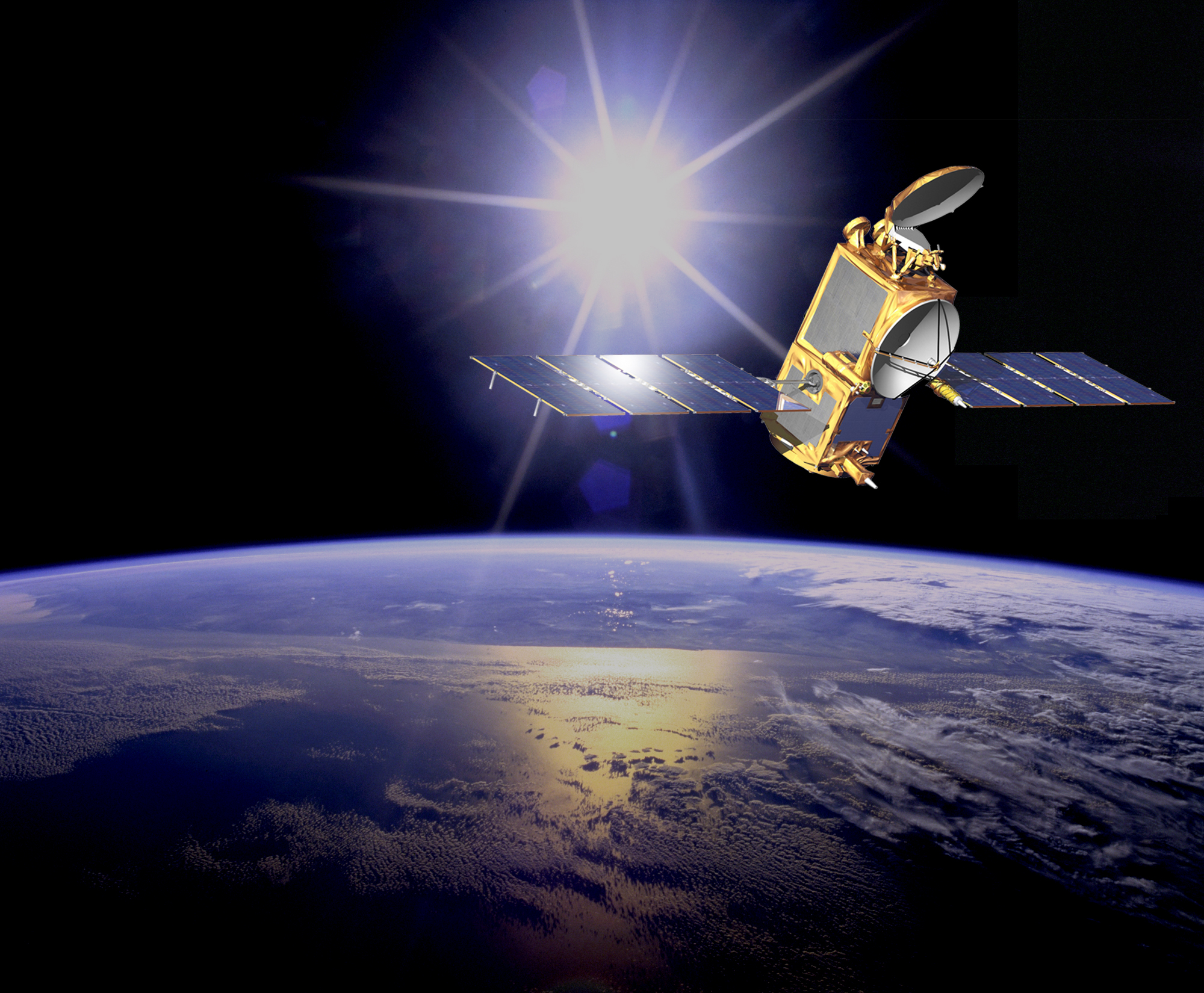
Researchers at The Ohio State University ElectroScience Laboratory (ESL) are using powerful supercomputers to further refine satellite measurements of the surface height of the world’s oceans.
With more than 70 percent of its surface covered in water, the Earth’s oceans greatly influence global climate and weather. Studying ocean topography provides data that is vital to researchers who produce atmospheric models for hurricane forecasting, optimizing routes for commercial shipping, tracking floating debris and helping manage marine mammal and fish populations.
To measure the surface height of oceans, scientists today analyze data that comes primarily from satellite sensors called altimeters, which bounce microwave pulses off the water’s surface and record the returning signals. While these high-tech methods produce highly accurate measurements, small but important errors occur because waves are not symmetrical: wide, shallow wave troughs reflect electromagnetic energy more strongly than the narrow, sharp wave crests. Because of this variance, altimeter measurements report sea heights that can be several centimeters too low, requiring additional corrections.
Joel Johnson, a professor of Electrical and Computer Engineering, and Praphun Naenna, a graduate research assistant there, have turned to high performance computers at the Ohio Supercomputer Center (OSC) to help correct this “electromagnetic (EM) bias.”
“Our study uses a method for hydrodynamic simulations that can better capture these effects than models previous studies employed,” said Johnson. “This method, however, comes with far more computational burden, so we use supercomputing resources at OSC to produce a deterministic set of sea surface profiles and the corresponding altimeter pulse returns.”
Last summer, officials at OSC and ESL signed a collaboration agreement to develop parallel software codes for computational electromagnetics, especially for layered sensing research.
“While the numerical method used for these simulations is very efficient, the total problem is still very computationally intensive,” said Ashok Krishnamurthy, OSC’s interim co-executive director. “We granted Joel and his research team a Major award for use of our flagship system, the “Glenn” IBM Cluster 1350, which provides the computational muscle of a parallel system with more than 9,500 cores, 24 terabytes of memory and a peak computational capability of 75 teraflops.”
At this point in the study, the development of EM bias simulation tools has been completed, and the numerical results have been verified.
“The focus is now on using these tools to investigate the impact of various physical effects on the EM bias, including variations with the wind speed and the radar frequency, and also the influence of short scale roughness,” said Naenna.
For more on remote sensing at the ElectroScience Laboratory, visit http://electroscience.osu.edu/9262.cfm.
________________
The Ohio Supercomputer Center is a catalytic partner of Ohio universities and industries that provides a reliable high performance computing infrastructure for a diverse statewide/regional community. OSC promotes and stimulates computational research and education in order to act as a key enabler for the state's aspirations in advanced technology, information systems, and advanced industries. For additional information, visit http://www.osc.edu
