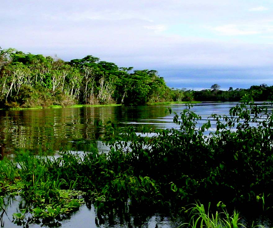
The Amazon River, the second longest river in the world, measures 4,000 miles from its source to its mouth, drains a territory of more than 2.5 million square miles, is fed by more than 100 tributaries, discharges between 30 million and 70 million gallons of water a second, and deposits a daily average of 3 million tons of sediment near its mouth.
Using the high performance computing and support resources of the Ohio Supercomputer Center, Ohio State University Earth scientist Doug Alsdorf, Ph.D., and his colleagues successfully predicted flooding patterns for 5,000 square miles of the central Amazon floodplain.
This was the first time a hydrodynamic model of this scale was successfully used to resolve complex floodplain flow patterns. Until this work, hydrologists didn’t know much about the Amazon’s seasonal floods.
“Almost no data existed on the Amazon’s flooding behavior over large areas, such as where the waters rise first, the elevations, or how fast the waters ebb,” Dr. Alsdorf said. “To understand the hydrological and biogeochemical processes in the ecosystem, it was critical to find a way to understand the flood patterns.”
Water level gauges typically register a change in water elevation over time. However, these are sparsely placed on the Amazon and only in the main channels. So the researchers turned to the Shuttle Radar Topography Mission and other satellites for records of floodplain topography, water levels, and highly accurate water level fluctuations.
The researchers took the enormous amount of satellite data and simulated water movement through the Amazon floodplains, using the computer program LISFLOOD-FP. At Dr. Alsdorf’s request, OSC researcher Judy Gardiner, Ph.D., adapted the program to run quickly and efficiently on multiple processors of the Center’s Cray supercomputer.
“With Judy’s help, we went from four weeks of compute time on a desktop to less than four days,” Dr. Alsdorf said. “Because of this, we were able to tweak the formulas and do multiple runs, ultimately resulting in a much better simulation.”
The results suggest that water flows through the floodplain in a much more complex way than previously thought. The flood levels also do not always correlate directly to the main channel levels, but were influenced by topography as well as local and far-reaching hydraulic factors created by the flood itself.
--
OSC Partner:
The Ohio State University
Research Title:
Modeling Large-Scale Inundation of Amazonian Seasonally Flooded Wetlands
Funding Sources:
• Petrobras S.A.
• Piatam Project
• NASA
• UK Royal Society
Principal Investigator:
Doug Alsdorf, Ph.D., The Ohio State University
Co-Principal Investigators:
• Matthew Wilson, Ph.D., University of Exeter, Cornwall, UK
• Paul Bates, Ph.D., University of Bristol, Bristol, UK
• Bruce Forsberg, Ph.D., Instituto Nacional de Pesquisas de Amazonas, Manaus, Brazil
• Matthew Horrit, Ph.D.,
Halcrow Group, Ltd., Wiltshire, UK
• John Melack, Ph.D., University of California, Santa Barbara
• Frédéric Frappet, Ph.D., University of California, Irvine
• James Famiglietti, Ph.D., University of California, Irvine
For more information:
earthsciences.osu.edu/water