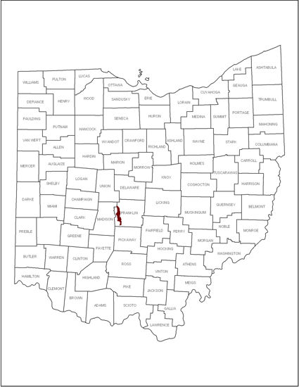
We have taken information from a watershed in Central Ohio called the Hellbranch watershed and used a computer model of the water flow or hydrology and the water quality to forecast what it was probably like before humans developed the land. The map below shows where this watershed is located in Ohio and the watershed divided into the subcatchments we used for the simulation. A subctachment is a smaller part of a watershed divided according to how the runoff flows over the surface into the stream channels.
 Location of Hellbranch Watershed in Ohio |  |  Subcatchments of the Watershed Used for Simulations |
The simulation uses a real rainstorm that occurred in the area from May 9-14, 2000. The storm produced two rainfalls of about 0.3 and 0.4 inches respectively. We used the PCSWMM.net model to simulate what would happen to the water from this rainfall under different development decisions. The all natural state (which has not occurred for hundreds of years, assumes that the area was covered mostly by a forest. We divided the watershed into subcatchments and simulated what would probably have happened if that same rainfall fell onto the area when it was completely covered by forest. Those storms would not produce any runoff in the 24 hours after the storm because of the interception of rainfall by the trees and high infiltration of water into the soil.
We then used the model to add increments of agricultural land use and then different urban land uses to show how this produces changes in the amount of runoff, the occurrence of flooding, and declining water quality. Note that the storm we are simulating is rather small, one that will recur several times per year. Your activity will be to explore what happens under those circumstances and to explain the results in terms of changes to the hydrologic cycle.
